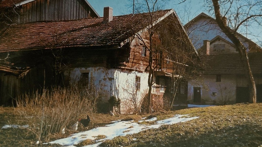
Röhrnbach - Info point Rumpenstadl, above
CASTLES, FORTIFIED HILL TOPS, TRADE ROUTES, PROTECTION AND MONITORING
Numerous castles supervising the steep paths
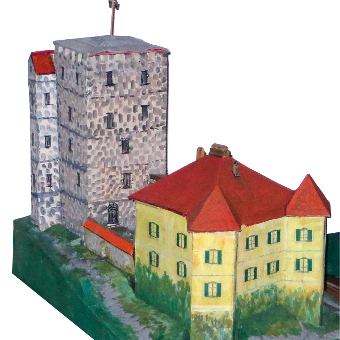
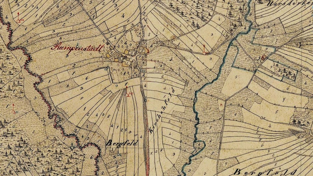
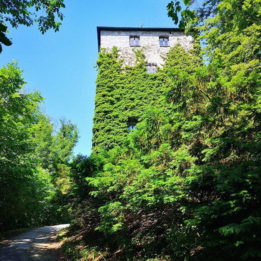
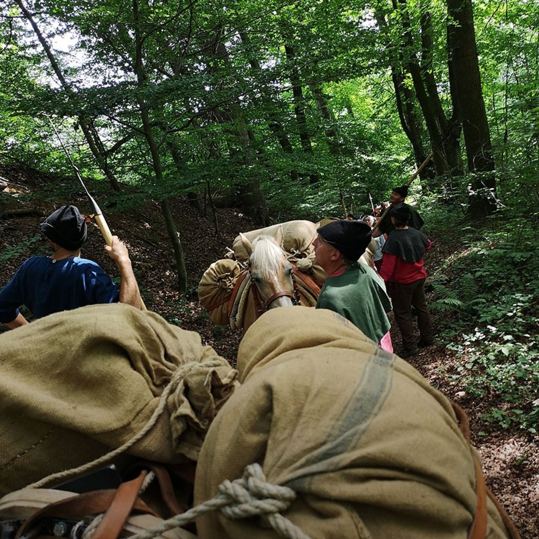
Imagine leaving Geyersberg, making your way on the "Goldsteig Trail" via Hardsdorf in the direction of Röhrnbach with your pack animals. In the 14th century, you could see many castles from the somewhat higher edge of the forest, errected on the route in order to protect and monitor the travellers. This trade route had a significant influence on the economy, not only for the regional sumpters of salt but, but also for the innumerous merchants throughout Europe, transporting their precious goods to Bohemia, and returning with valuable counter-freight. During this time there were six castles in the area: Lobenstein, Großwiesen, Kollberg, Steinerleinbach, Kaltenstein and Neuhaus. Unfortunately, there is hardly any left from these historic buildings, with one exemption: the mighty residential tower of Kaltenstein, close to Röhrnbach. From the important "Goldsteig Trail" you can still see the deep narrow pass, today a gound monument, at Rumpenstadl with its characteristic ruts and ditches.
(Former) castles and fortified hill tops in the region:
- Wolfstein
- Fürsteneck
- Kaltenstein
- Großwiesen
- Lobenstein
- Neuhaus
- Wildenstein
- Neuenbuchberg
- Geyersberg